Web
NV33 Farias Wheel Airport
A site and a live, instrument-grade weather page for a high-desert airstrip — built to read like the aviation weather apps pilots already trust.
The problem
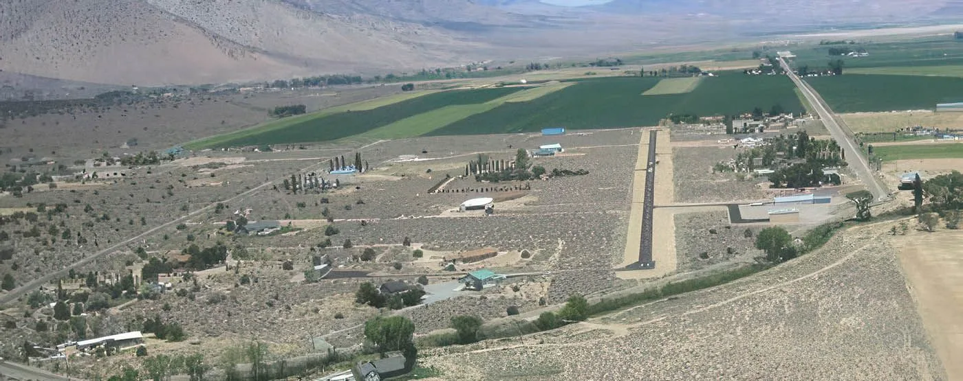
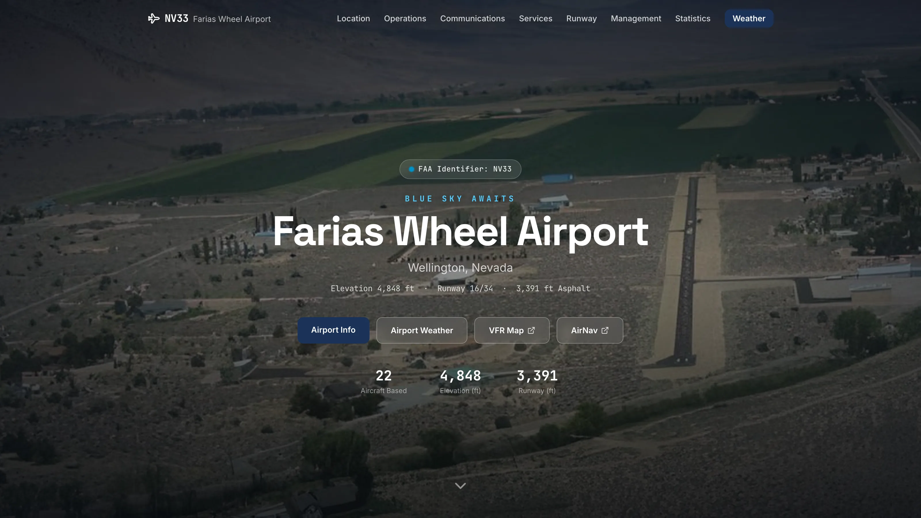
Farias Wheel (NV33) is a private-use airstrip in Wellington, Nevada, sitting at 4,848 feet with a single 3,391-foot asphalt runway and no control tower. It's a beautiful, demanding little field: high desert, high density altitude, permission required before you land. A pilot inbound to a strip like this has to read the conditions themselves — wind down the runway, temperature, the density altitude that quietly stretches every takeoff roll on a hot afternoon. But NV33 has no certified ASOS/AWOS, and the nearest official station is nineteen nautical miles away over the ridge at Minden-Tahoe — far enough that its winds tell you very little about the valley. The airport needed a clear public face — location, operations, communications, the permission-to-land process — and, for arriving pilots, a way to see real conditions on the field at a glance.
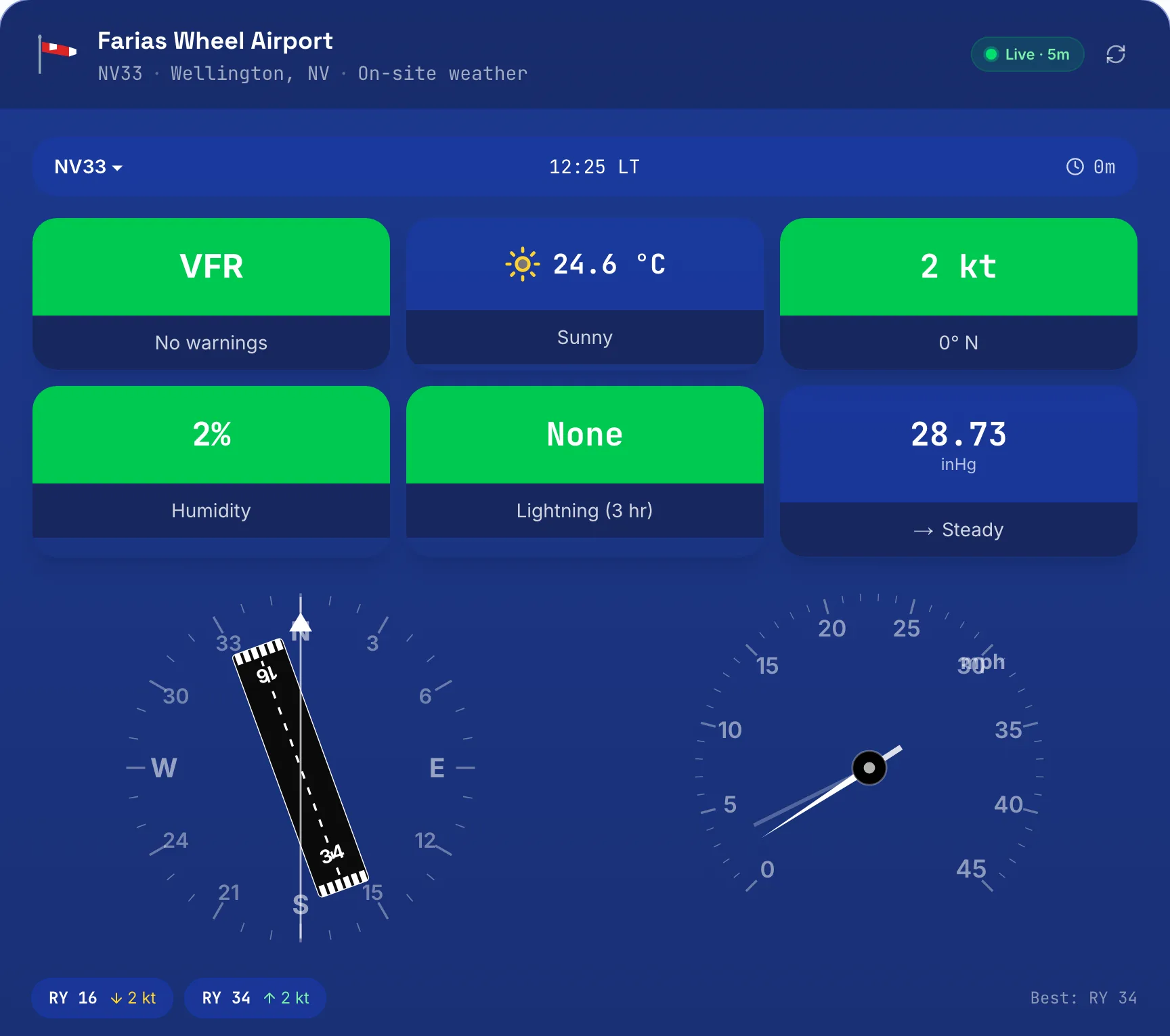
This dashboard is the piece the build gets remembered for. A small weather station on the field, wired through careful design into something that reads like part of a panel: flight category at a glance, the live wind laid over the actual runway, the crosswind already worked out. It runs unattended around the clock, refreshing every five minutes — proof that a private strip doesn't need certified hardware to give its pilots a clear, honest, genuinely beautiful picture of the field.
The approach
Two pieces. First, a clean airport site that answers the practical questions fast, whether you're a neighbor or a first-time transient asking how to get permission. Then the centerpiece: a live weather page wired to a WeatherFlow Tempest station on the field, designed to read the way pilots already think. Flight-category coloring so VFR reads in a glance; an airspeed-style wind dial; a compass rose with runway 16/34 drawn to its true alignment and the live wind laid across it, so the crosswind is a picture, not a calculation — plus a per-runway headwind/crosswind breakdown and a 'best runway' call. Density altitude is derived from live station pressure and temperature, because at 4,848 feet on a warm day that's the number that matters. Below the gauges, fifty-one decoded fields refresh every five minutes. And it stays honest about what it is: a standing notice makes clear this is a personal station for situational awareness only — not an official METAR — and points pilots to certified sources for flight planning. Skillful, custom, and careful about the one thing aviation can't be casual about.
Start here
Tell me what you’re trying to build.
Send the details and I’ll reply with a straight answer on scope, timeline, and whether I’m the right person for it. If I’m not, I’ll say so.